Professional surveying and 3D laser scanning services
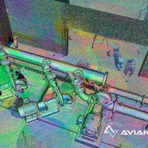
Our surveyors use professional laser scanning and surveying methods to capture the as-built environment.
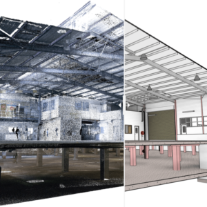
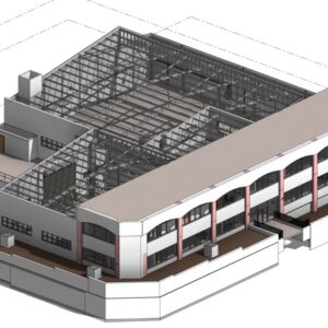
We deliver sectional drawings, plan views, 2D maps and 3D models from high-accuracy 3D laser scans, combined with survey control for quality assurance.
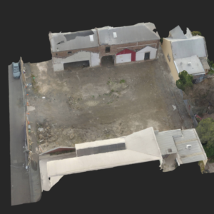
Combined with 3D visualisations your clients can tour and navigate the as-built environment and site via our interactive 3D models.
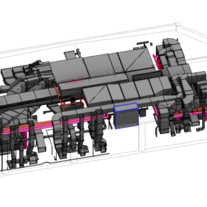
You can start designing sooner with precision measurements using our point clouds and 3D models delivered for AutoCAD, Revit or ArchiCAD. We also conduct site analysis and inspection while in the field to give you a comprehensive view and understanding of site condtions.

