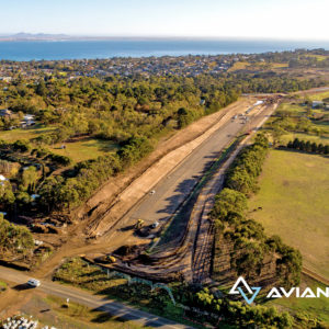
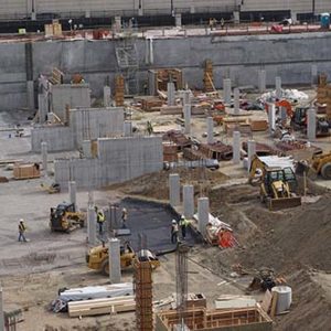
Avian UAS provides trusted land surveying and terrain mapping services across Australia.
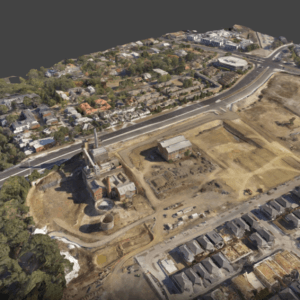
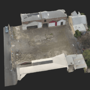
Our team are qualified in surveying and experienced in conducting accurate, detailed and timely surveys. Our acquired data, maps and 3D models are relied upon for accuracy, measurements (distance, area, volume) or volume estimates (volumes, displacement, cut and fill). We deliver a number of clients across Australia site plans, large land maps, site and engineering drafting/drawings and 3D models using surveying and laser scanning equipment combined with proven post-production workflows.
The equipment of choice for our business is Leica Geosystems due to their premier standing in providing the world with high-quality imaging, surveying and reality capture systems and software.
Professional surveying, mapping and laser scanning services


