1300 081 115
info@avianuas.com.au
Home
About Us
Our Services
Asset and Building Facade Inspections
Surveying and Terrain Mapping
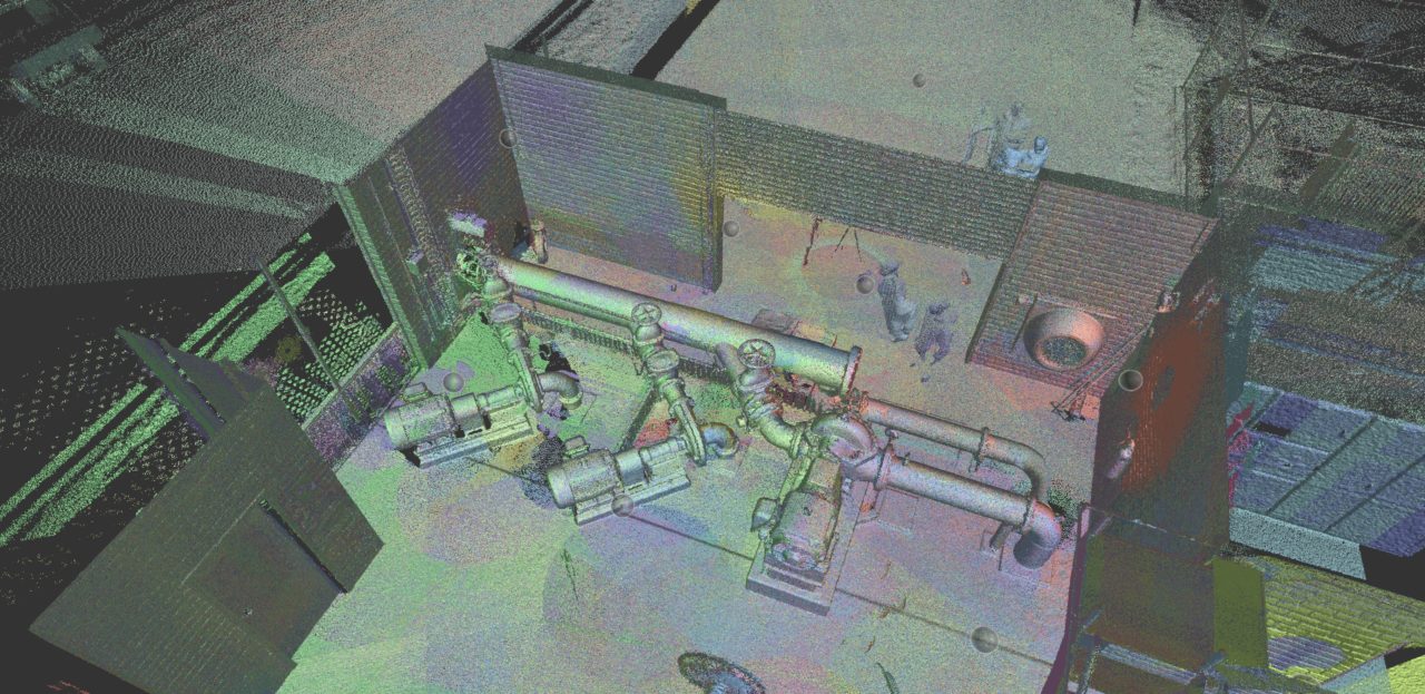
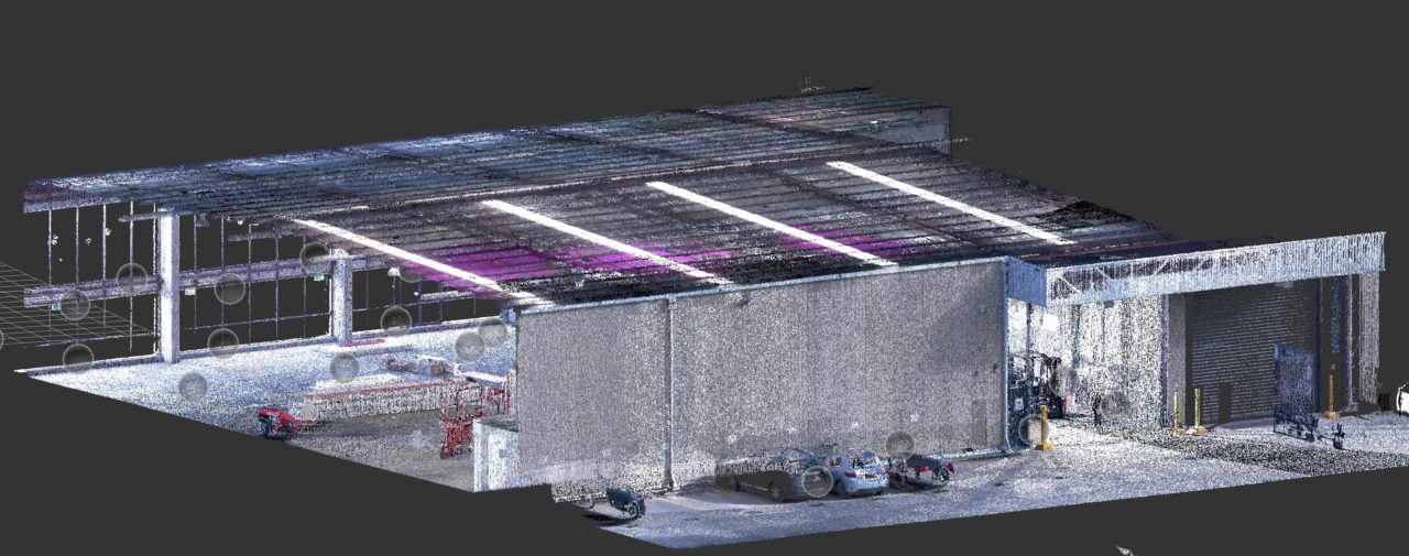
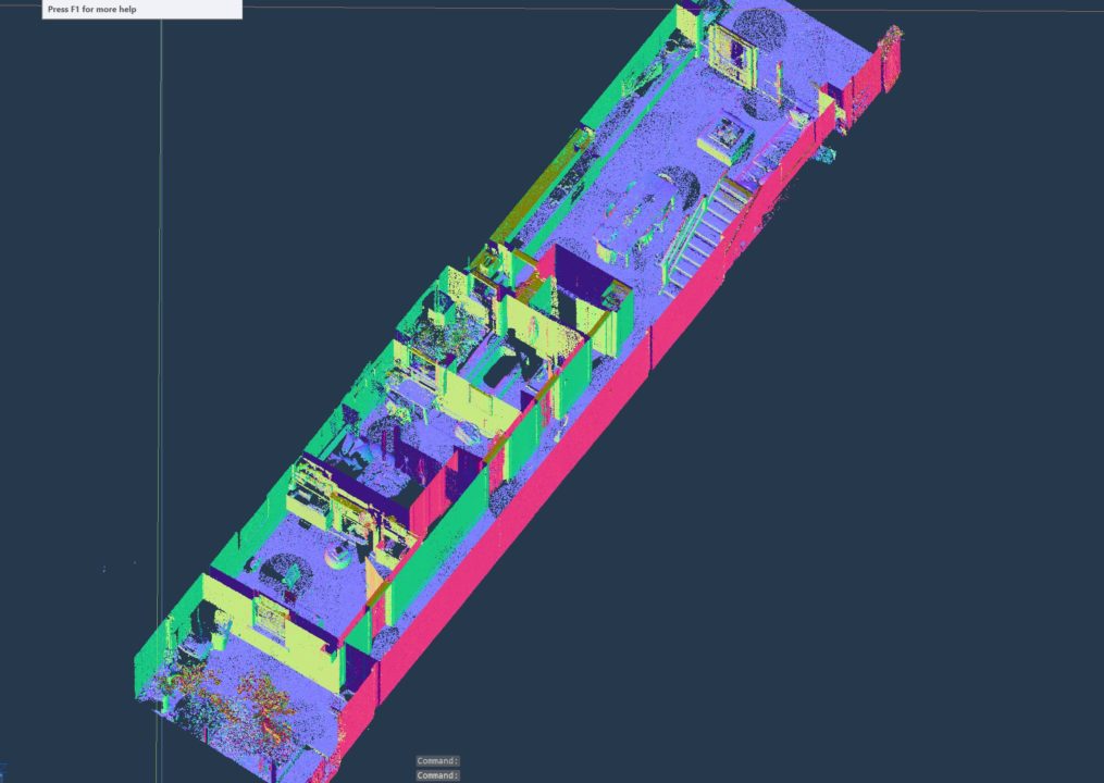
Laser Scanning and 3D Modelling
Digital Media
Aerial Panoramas and Virtual Tours
Aerial Photography
Video Production
Training and Integration
Custom Built Solutions
Gallery
Blog
FAQs
Contact
Home
About Us
Our Services
Asset and Building Facade Inspections
Surveying and Terrain Mapping
Laser Scanning and 3D Modelling
Digital Media
Aerial Panoramas and Virtual Tours
Aerial Photography
Video Production
Training and Integration
Custom Built Solutions
Gallery
Blog
FAQs
Contact
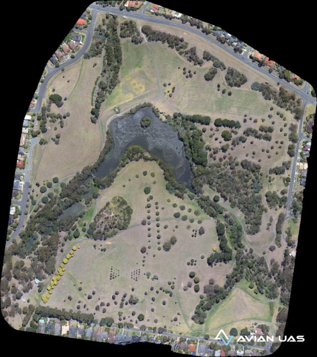
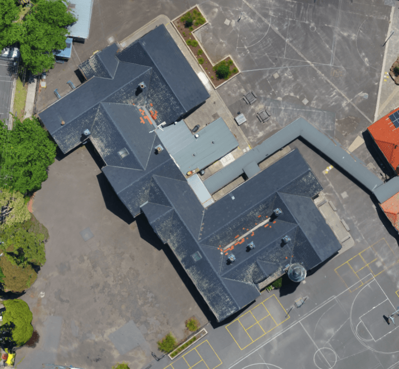
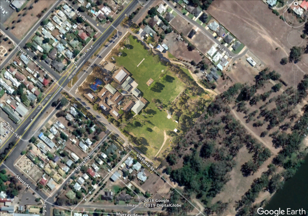
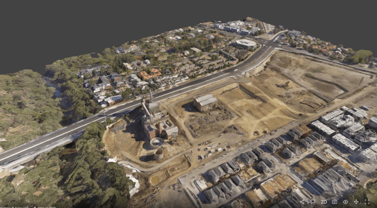
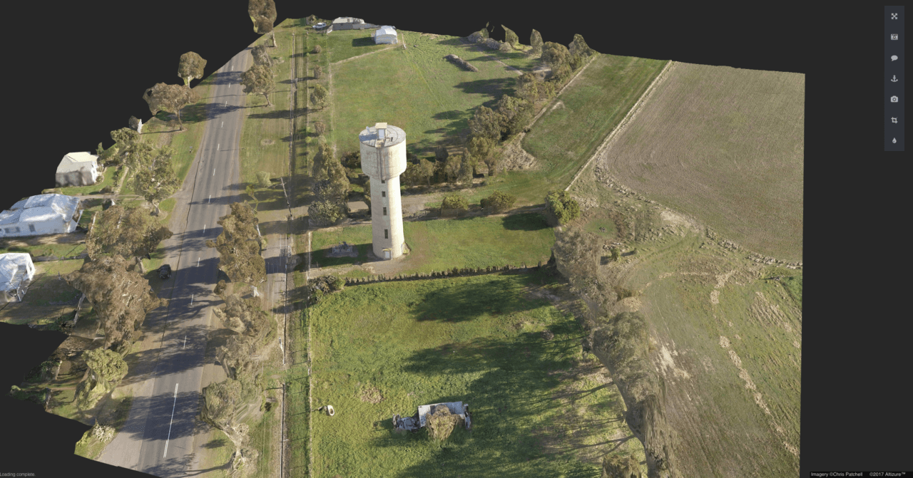
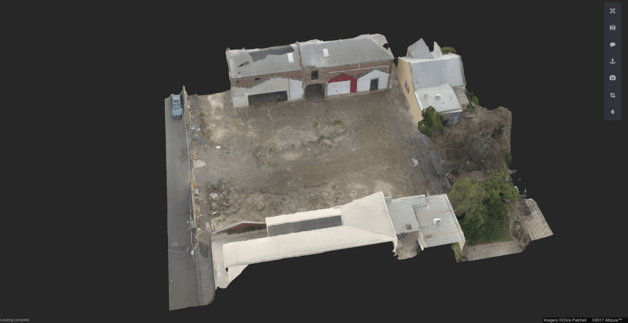
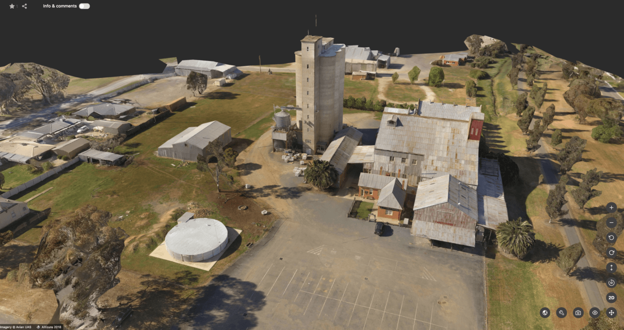
Geo-rectified maps
Accurate measurements from detailed ortho mosiac maps
Land Mapping and Terrain Modelling
Aerial surveying and mapping
Accurate 2D/3D maps and models using state-of-the-art technology and proven workflows
SHARE:


